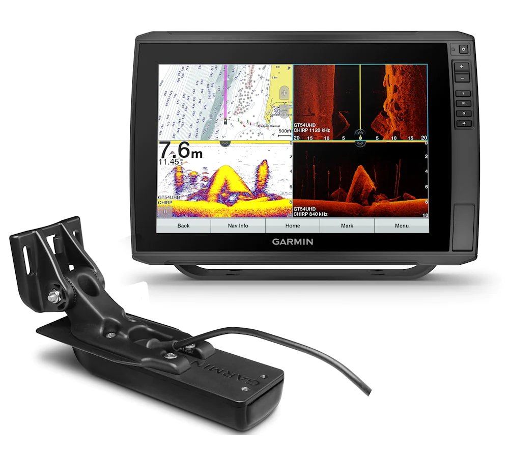
Garmin Echomap ULTRA 122SV with GT54-UHD
Garmin Echomap ULTRA 122SV with GT54-UHD has a clear 12 inch touch screen with buttons that can be read even in sunlight and that contains everything you need for successful fishing. It includes a full coverage echo transducer for traditional CHIRP sonar and for the ultra-accurate scanning ClearVü and SideVü sonar. It supports BlueChart® g3 charts and BlueChart® g3 Vision charts that contain Navionics® data.
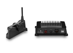
Supports the full range of Panoptix™ echo transducers. It also supports the Panoptix LiveScope system (Sold Separately)
With the built-in Quickdraw Contours charting software, you can create your own fishing charts with curves at 0.3 meter (1 foot) intervals as you fish. You can instantly create personalized fishing maps with 0.3 meter (one foot) contours right on the screen while you fish. You can customize them according to your needs. These maps are your property. You can keep the information to yourself or share it via Quickdraw in the Garmin Connect™ web service.
Upgrade your preloaded global basemap to the optional BlueChart® g3 or BlueChart® g3 Vision charts with integrated data from Navionics, which adds auto-guidance technology that easily calculates routes and provides a route suggestion based on entered depth and clearance data. NMEA 2000® connectivity and support for direction finder, autopilot, digital clutch, weather information and FUSION-Link™ audio playback, among others.
Built-in Wi-Fi gives you access to the free, versatile ActiveCaptain app, which lets you keep track of your Garmin device almost anywhere. It creates a simple yet effective connection between a compatible mobile device and your Garmin chartplotter, charts and boat group. You get unlimited access to your maps everywhere, the ability to purchase new maps and charts, and access to the Garmin Quickdraw™ Contours group. Stay connected with smart notifications on the plotter screen.
You can also plan a trip or prepare to fish a lake and ActiveCaptain automatically syncs with the chartplotter. You also receive notifications about software updates and decide for yourself when you want to download them to your device. When you’re not on the lake, you can easily protect the ECHOMAP Ultra combo. You do not need to connect cables to the device or disconnect them because they are connected directly in a quick-release connector. You can therefore quickly install and disconnect the ECHOMAP Ultra from the bracket and the power source.
Garmin Echomap ULTRA 122SV with GT54-UHD