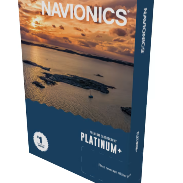
Navionics U.K. Platinum+ Ireland & Holland Platinum+
Short Description
Navionics U.K. Platinum+ Ireland & Holland Platinum+
Chart Code: NPEU628L
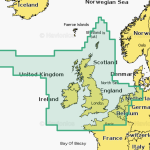
Detailed coverage of the UK, Ireland and the North Sea and English Channel coasts. Coverage includes the Shetland Islands, Orkney Islands, Isle of Man, Isle of Wight, the Isles of Scilly, the Channel Islands, the Thames River, the IJsselmeer, the Waddenzee and the Kiel Canal. Ports include London, Liverpool, Southampton, Edinburgh and Belfast, UK; Dublin and Cork, Ireland inland.
€349.00
Product Details
Navionics U.K. Platinum+ Ireland & Holland Platinum+
Navionics Platinum+ UK, Ireland & Holland | NPEU628L
Detailed coverage of the UK, Ireland and the North Sea and English Channel coasts. Coverage includes the Shetland Islands, Orkney Islands, Isle of Man, Isle of Wight, the Isles of Scilly, the Channel Islands, the Thames River, the IJsselmeer, the Waddenzee and the Kiel Canal. Ports include London, Liverpool, Southampton, Edinburgh and Belfast, UK; Dublin and Cork, Ireland; Brest, Le Havre, Calais and Dunkirk, France; Antwerp, Belgium; Amsterdam and Rotterdam, The Netherlands; Bremerhaven, Hamburg and Kiel, Germany.
All-in-one max detailed cartography for marine and lakes makes Navionics+ the perfect choice for cruising, fishing and sailing. Get the most accurate navigational data for your GPS plotter, an exclusive 0.5 m HD bathymetry map which is enhanced by boaters like you, and unique local content shared by Navionics app users.
Navionics make thousands of edits every day, so you can always have the most current charts.
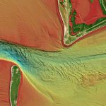
Relief shading is now available for Navionics customers to enjoy on their mobile devices and compatible GPS chartplotters.
Relief shading combines color and shadow to present an easy-to-interpret, clearer view of bottom structure than contour lines alone. Created from multibeam surveys and other high definition data, the Navionics relief shading feature brings bottom detail to life, from shallow flats to deep offshore canyons, in a vivid, colorful representation that helps boaters gain a better understanding of bottom topography for better fishing and diving experiences.
The Navionics subscription
A one-year subscription to Daily Updates and advanced features (e.g. Dock-to-dock Auto routing, SonarChart Live, Advanced Map Options, and Plotter Sync) are included for one year.
After a year, you can renew at a discounted price.
Compatibility
Check Compatibility of Navionics content and features with your GPS chartplotter.
Related products
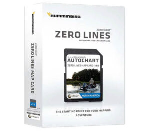
Humminbird Autochart Zeroline SD
€149.99Original price was: €149.99.€129.99Current price is: €129.99. Add to cartHELIX 7 CHIRP MEGA SI GPS G4 Fish Finder
€995.50Original price was: €995.50.€640.00Current price is: €640.00. Add to cart

